Anna Waymack and I gave a presentation at Stanford’s Rumsey Map Center, as part of the 2019 Ruderman Conference on Cartography. The conference theme was Gender, Sexuality, and Cartography. We spoke about the early 15th-century author and scholar, Christine de Pizan and her struggles to reconcile her identity with the male-gendered mnemonic map that she […]
Winston Churchill and the Eels

At several points during his career Winston Churchill said that people needed to get used to things, just as eels get used to being skinned. This is a curious metaphor, with an interesting history that I’ve written up here. So if you like metaphors, eels, and/or Churchill, check it out!
The Maps are Lying to You

Recently, in response to President Trump’s creative cartography in the run-up to Hurricane Doria, Charles Blow wrote an editorial in the New York Times titled Maps Don’t Lie. And while I appreciate his sense of indignation at being lied to, his article misses a key point about maps: they’re always political on some level, and […]
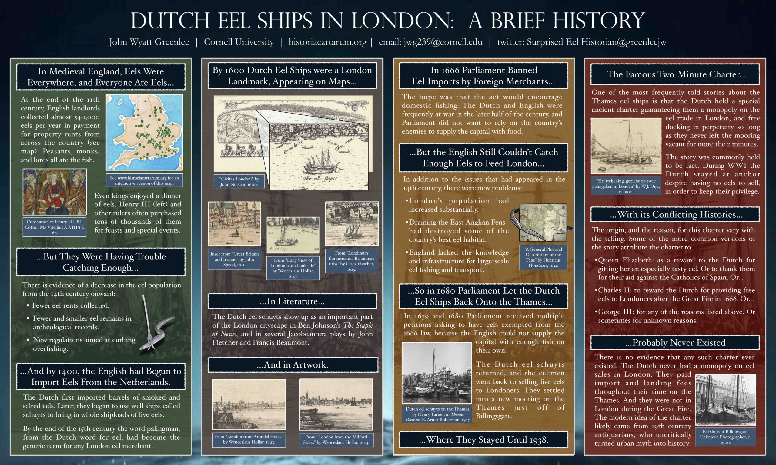
Eel Sustainability Group Meeting
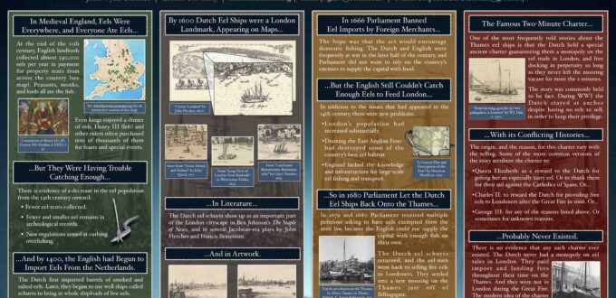
I was recently invited to the Eel Sustainability Group’s 10th Anniversary Celebration and Conference. And while I wasn’t able to go, I’ve sent along a poster on the history of the Dutch eel trade in London. A copy of the poster can be found here. Part of the poster deals with the eel rents that […]
In the Beginning was the Word
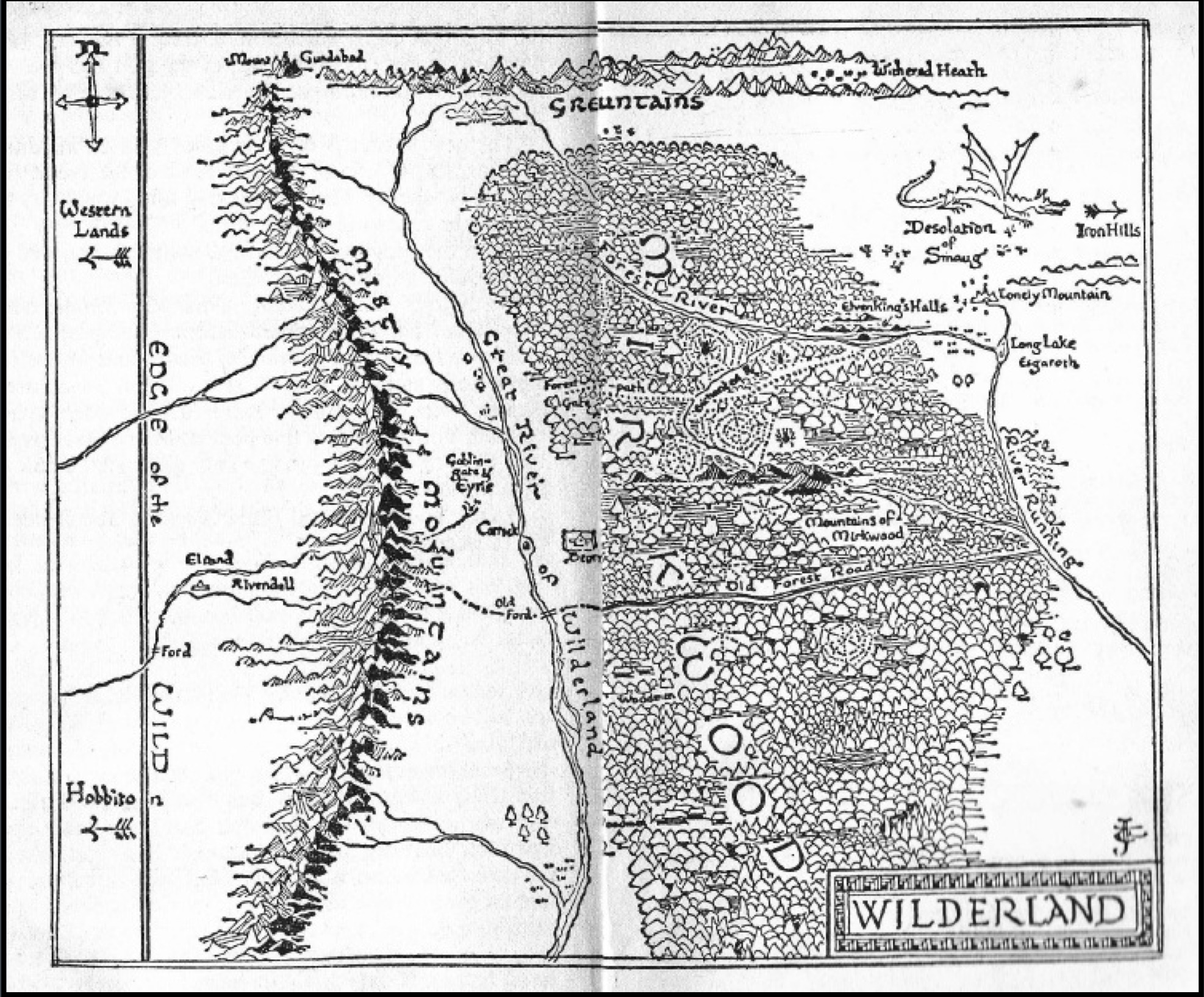
Anna Waymack and I are making available a talk we gave in Oct. 2018 at Boundary Crossings: the 2018 International Conference on Medievalism. Our presentation was Tolkien, maps, memory, and medievalisms. You can find it here, and on Anna’s website as well. In the presentation we begin to trace the connections between Tolkien’s prefatory maps and the […]
Torn Apart by Mice
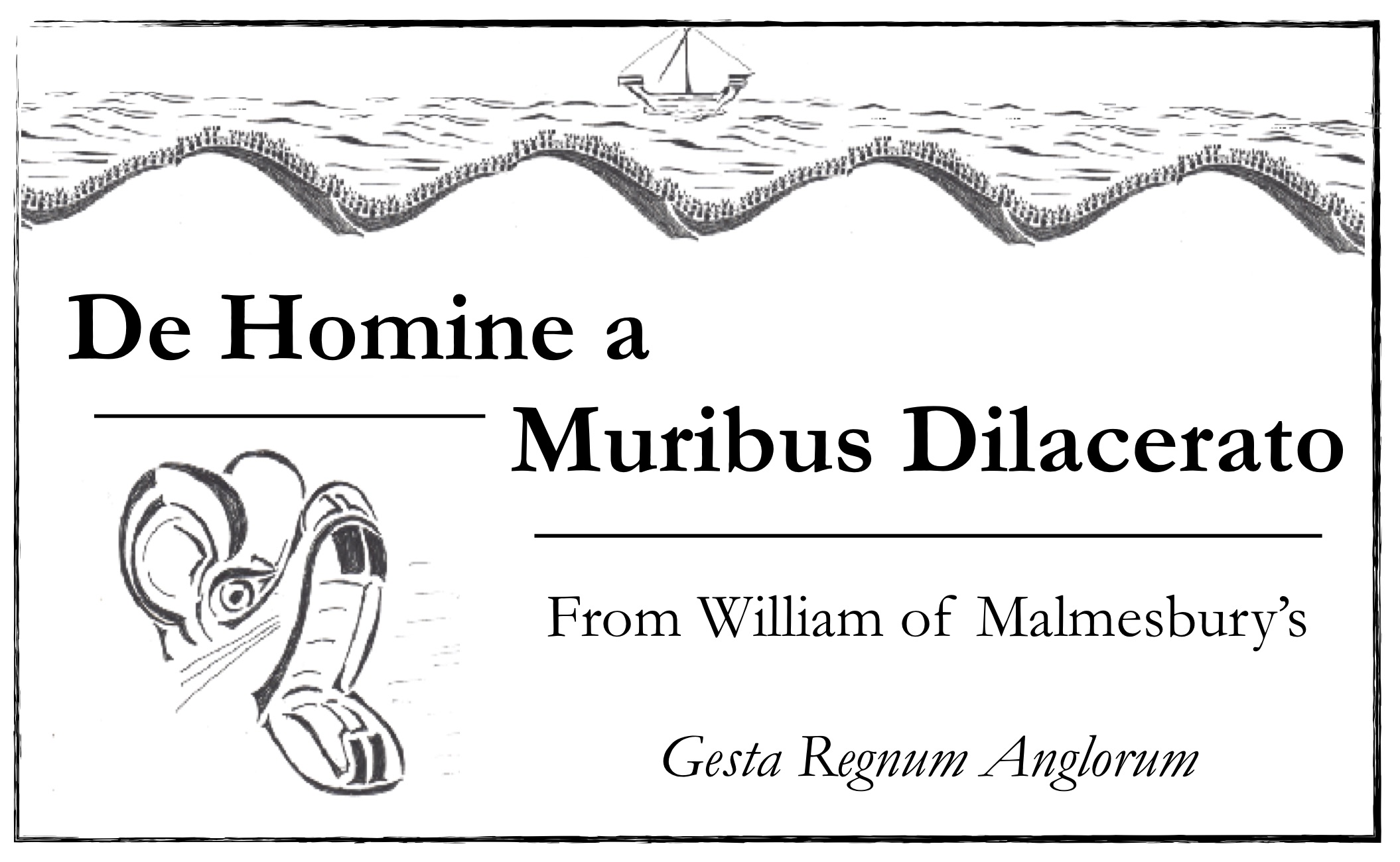
For this year’s Festival of Medieval Readings, I’ve chosen a brief passage from William of Malmesbury’s Gesta Regnum Agnlorum, where a William recounts a story about a man who was torn apart by mice. In the festive spirit of the event, I’ve drawn up some illustrations and made a children’s book out of the story, which I’ll […]
Eel-Rents
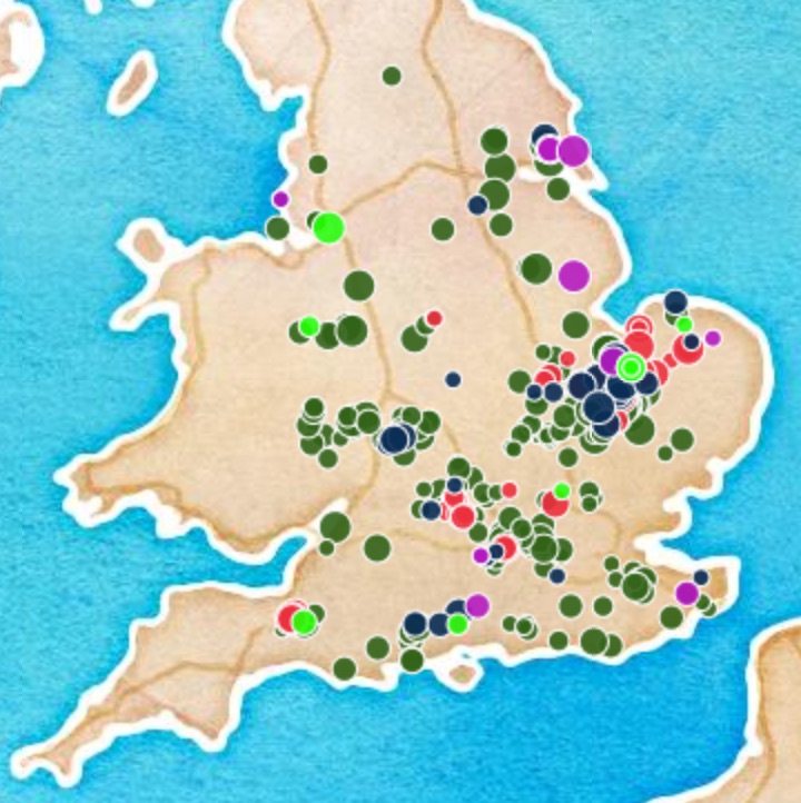
As a part of my dissertation I’ve been researching eel-rents in medieval England. I am in the process of assembling a database of eel-rents from the 10th century onward. Though eels (and probably other in-kind rents) become increasingly replaced by currency by the 13th century, there are still eel-rents on the books into the 1600s. […]
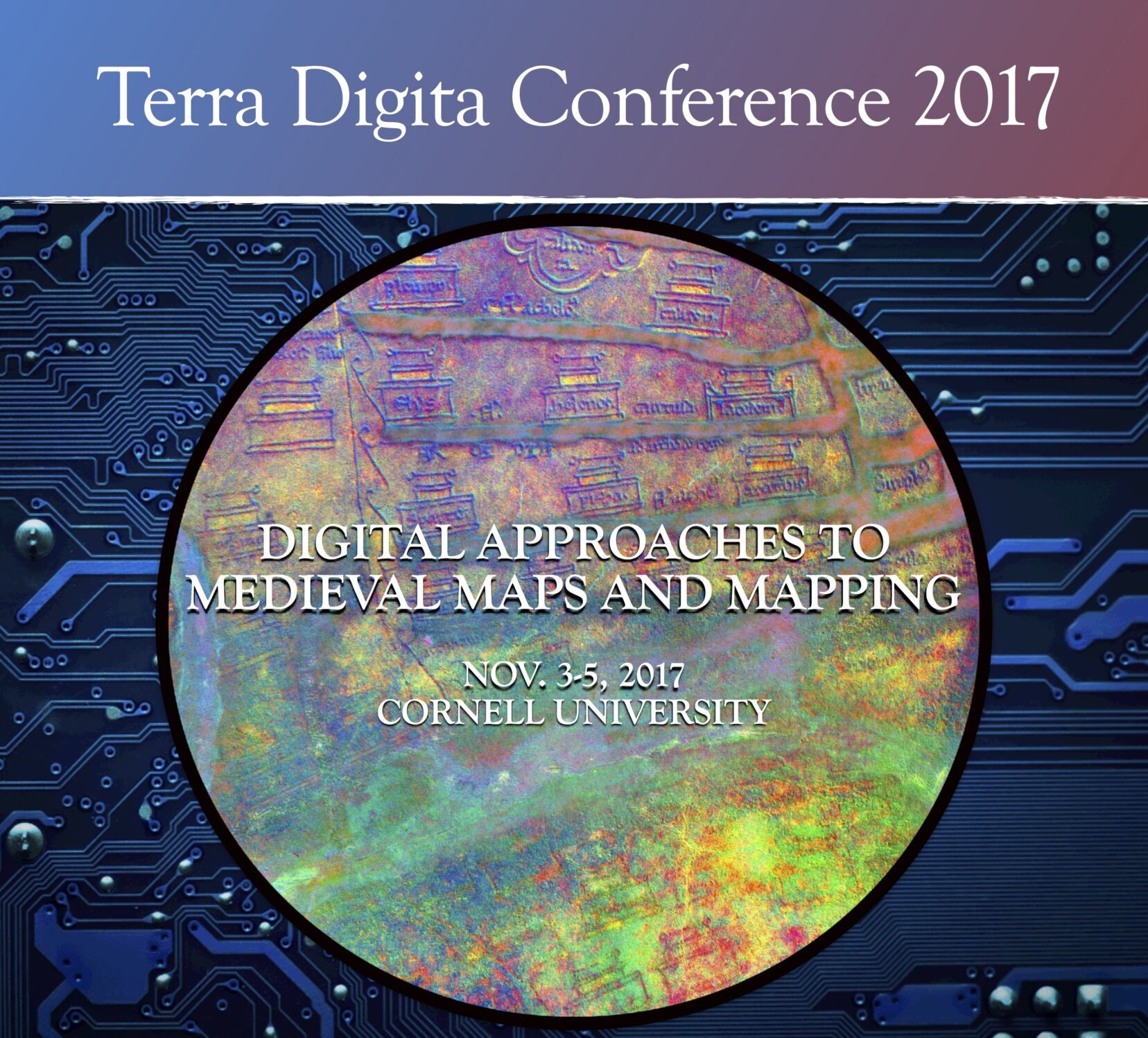
Terra Digita Conference
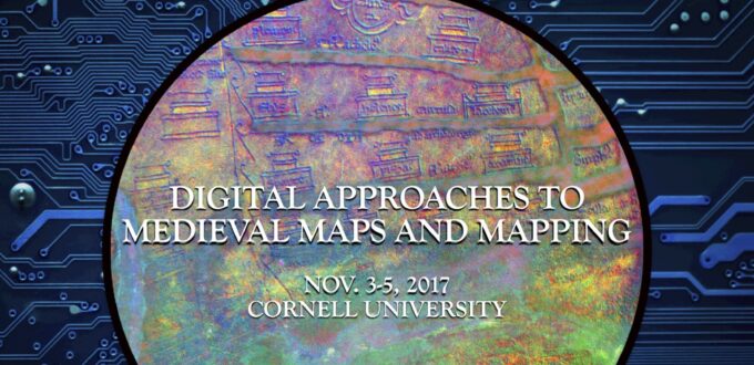
Anna Waymack and I are putting together a conference at Cornell centered on digital approaches to medieval maps. We’re working with the Cornell Library staff and the new Digital CoLab in Olin Library to host a 2-day workshop, conference and exhibit. We’re looking for presentations and papers looking at multi-spectral imaging, deep mapping, thick mapping and […]
Maps and Hawai’i
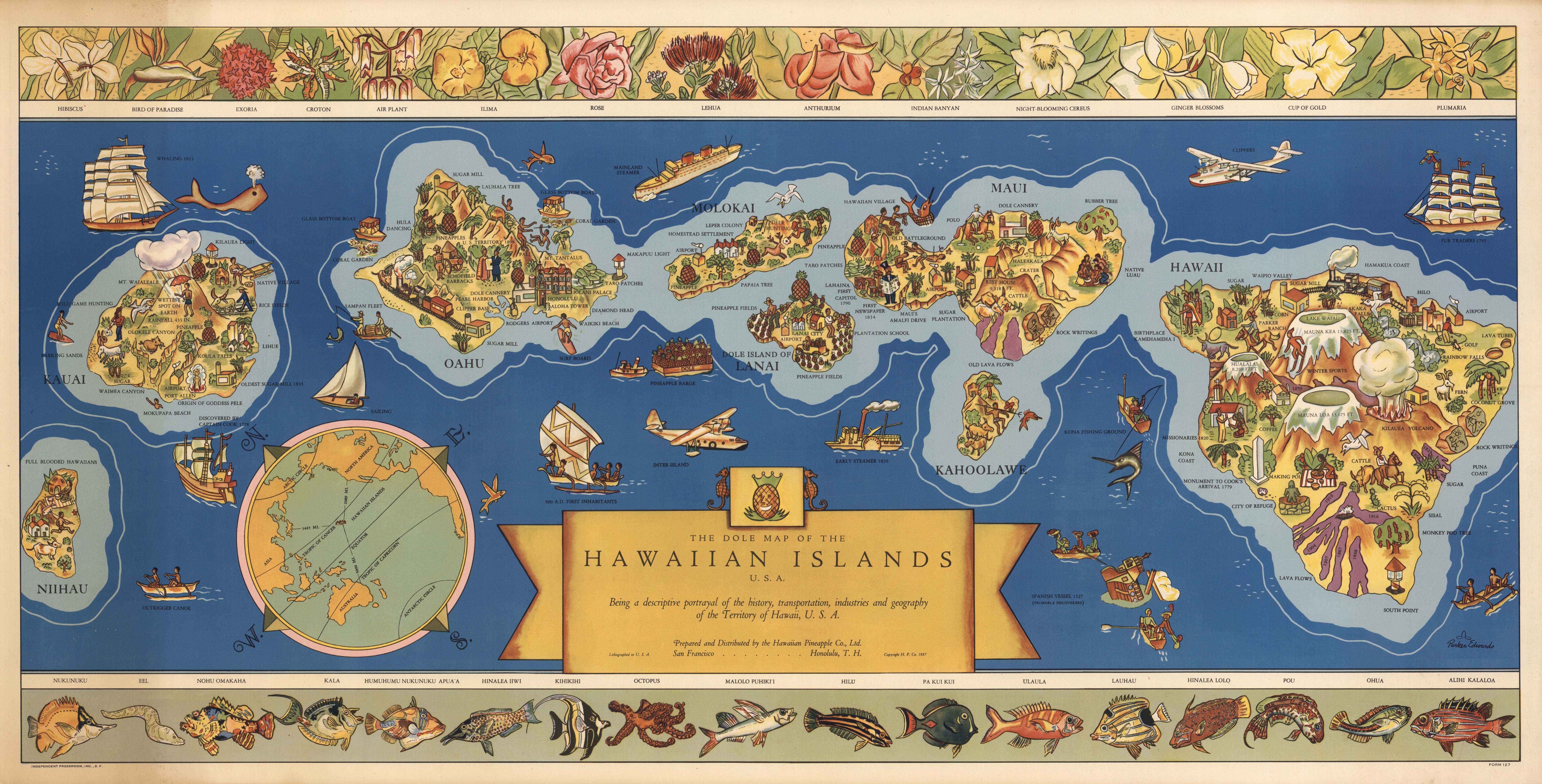
If you like maps, and you like Hawai’i, then you should take a look at my 2015 article in Cartographica, “Eight Islands on Four Maps.” It examines maps from the different stages of Hawaiian political history — Kingdom, Republic, territory, and state — to show how each government sought to use maps to define the islands and […]
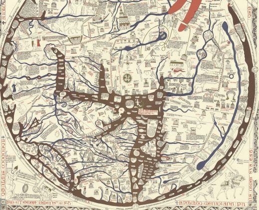
Annotated Hereford Map
The current project of annotating the Hereford map with locations from John Mandeville’s Travels is more-or-less complete. The project, undertaken as a part of my work for Digital Humanities Fellowship program at Cornell. It is available here, under the “Projects in Progress“section of the website.